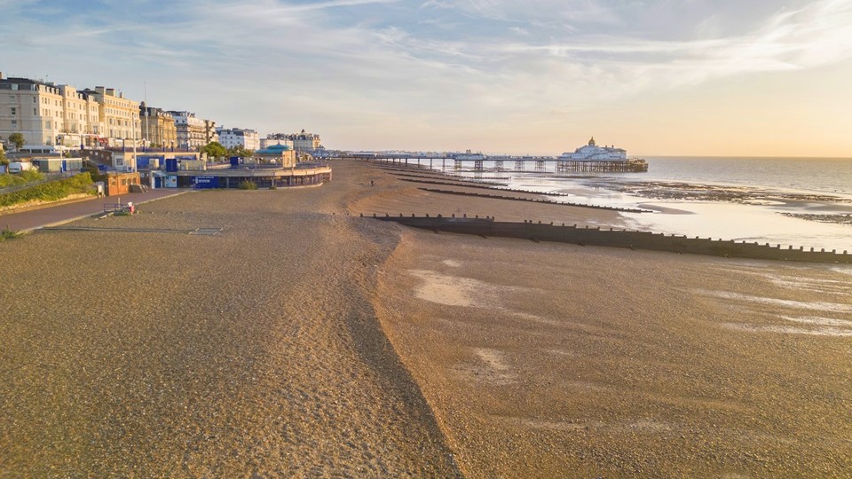
The Environment Agency, in partnership with Eastbourne Borough Council, has selected the preferred beach improvement options for the medium-term phase of the Pevensey Bay to Eastbourne Coastal Management Scheme.
Subtle interventions and enhancements on the shingle beaches in Pevensey Bay, Sovereign Harbour and Eastbourne will start in 2025. This will help to better-protect houses and businesses from the risk of flooding and coastal erosion over the next 15 years.
Nick Gray, the Environment Agency’s flood-risk manager for Sussex, said:
“By 2100, sea levels are predicted to have risen by 1.15 metres and storms are expected to become increasingly intense and frequent. These beach improvement works mark the start of the long-term plan to manage this increasing flood-risk for the coastline between Holywell in Eastbourne to Cooden Beach, east of Pevensey Bay.
“The new shingle management approach, taking us through the next 15 years, will include improvements to the beach design, repairs to the wooden groynes, and developments to surveying and monitoring.
“Homes and businesses will be better protected from flooding, but this is just the beginning of a longer strategy that will manage the increasing flood and erosion risks that climate change will bring over the next century.”
These new beach improvements will not be significantly different to the current beach management, but they were chosen to be the best options for the local community and the environment. They will also create opportunities to enhance the coast, through landscape and ecological improvements. The Environment Agency will also use the opportunity to reduce their own carbon footprint by exploring alternative fuel options for the heavy machinery used during shingle maintenance.
The Pevensey Bay to Eastbourne Scheme Coastal Management Scheme is taking what is known as an “adaptation pathway” approach. This allows the project to be flexible to observed and predicted changes in sea levels over time. By regularly monitoring how sea levels and flood risk are changing, new or adapted flood-risk management approaches can be implemented in a timely way, avoiding the cost of acting too early or too late.
More details on beach improvements will be shared in autumn 2024 when further design work is completed.


