Latest addition to Cadcorp Data Service assists organisations in visualising flood-prone areas and mitigating flood-related challenges

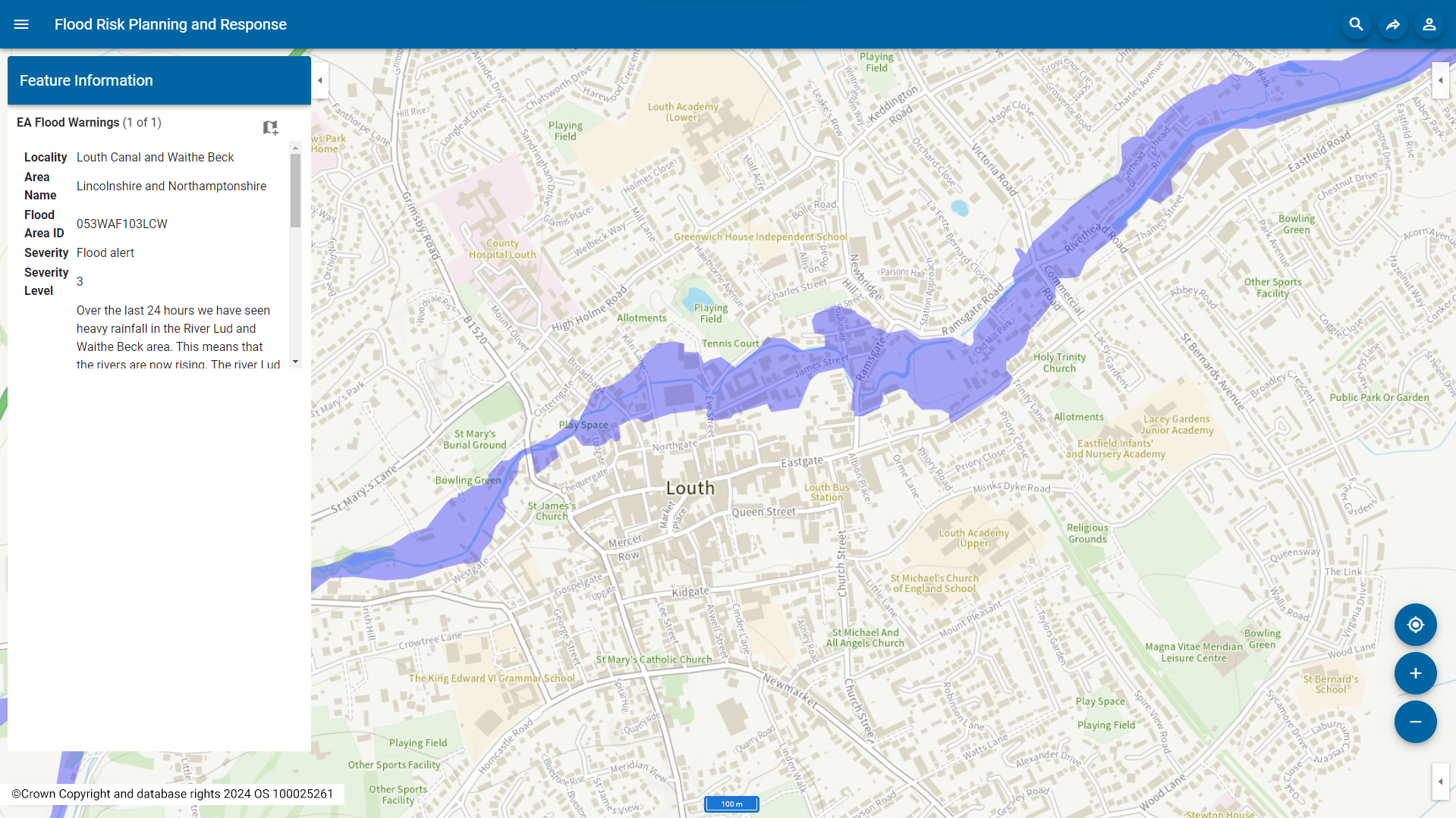
Cadcorp has expanded support for Environment Agency Real Time flood-monitoring within its desktop GIS and web mapping software. As part of the cloud hosted Cadcorp Data Service, users can now access regularly updated flood warnings.

Users can display flood warnings for a specific county, within a radius, and by severity (severe flood warning, flood warning, flood alert or warning no longer in force). Additional information can also be displayed, such as the locality, area name, and a detailed description of the warning.

The Flood Areas option indicates where the Environment Agency expects flooding to occur from rivers, sea and in some locations, groundwater. The data service can also be used to display historical flooding.

The Cadcorp Data Service is part of a range of cloud services available to customers who subscribe to Cadcorp SIS Desktop and Cadcorp SIS WebMap in the cloud, or as a separate licenced service for customers that still have an onsite installation.

SourceCadcorp

NEWS CATEGORIES

LATEST NEWS

Water industry launches world-first interactive storm overflows map

In a world first Water UK has launched an interactive map showing the operation of every single storm overflow in England. From today anglers, kayakers...

Ofwat to appear before MPs for questioning on water companies’ finances, customer bills and regulation of the industry

The Environment, Food and Rural Affairs Committee (EFRA) is due to hold an evidence session to scrutinise the work of Ofwat, questioning its Chief...

CIWEM urges action on PFAS ‘forever chemicals’ in UK’s water systems

Following the launch of a Policy Position Statement (PPS), CIWEM, the Chartered Institution of Water and Environmental Management, has issued an urgent call...

WSP appointed by Environment Agency to enhance groundwater modelling in Lincolnshire and East Anglia

Professional services consultancy WSP has been appointed by the Environment Agency to update and maintain existing groundwater models in Lincolnshire and East Anglia. This project...