RSK Group, a global leader in the delivery of sustainable solutions, has awarded a new enterprise GIS (Geographical Information System) contract to Esri UK, to increase the use of geospatial technology across the business and support its ambitious growth plans.
The 3-year agreement spanning 14 countries will allow RSK to deploy online geospatial technology more easily and meet a growing demand for its services. This includes environmental impact and biodiversity net gain surveys for the water, renewable energy, property and construction industries.
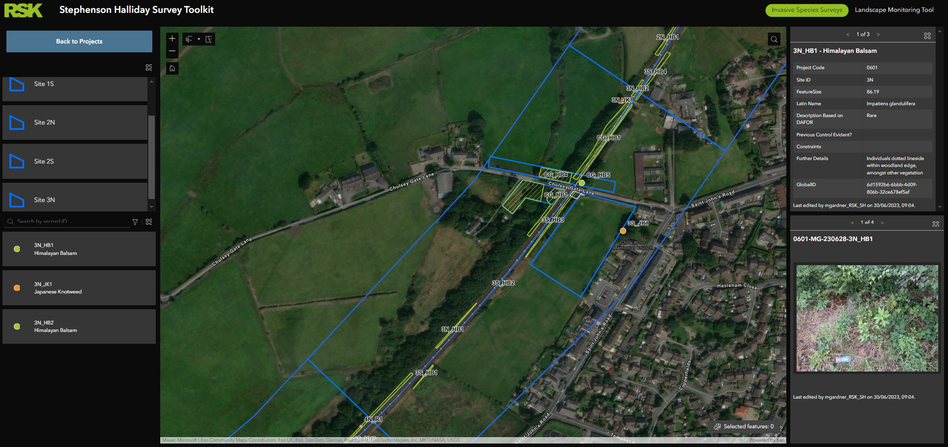
The new agreement will improve access to online GIS for employees, accelerate the development of geospatial business tools and allow teams to collaborate more easily using a central hub. Additional benefits include access to new types of Esri software, providing seamless workflows between drone data capture and GIS, advanced image analysis using machine learning and 3D visualisation of spatial data. Around 80% of users will be based in the UK, with others mainly located in the Netherlands, China, India, UAE, Uganda and Kenya.

RSK is a UK environmental and sustainability specialist with 15,000 employees in 40 countries and uses GIS to assess the impact of client projects by analysing spatial data. The group wanted to increase the use of GIS to support its 2030 global growth strategy, which will quadruple revenue from this year’s £1.2bn to more than £5bn in 2030 and double its number of environmental and engineering businesses to 400. In 2023 the company acquired 34 businesses.
RSK Group Technical Director, Mike Mason, said:
“RSK was looking for a smarter and more cost-effective way to create new geospatial capabilities as it continues to expand. The new agreement with Esri UK supports our global growth strategy by increasing access to a more robust and advanced GIS. It’s an important part of our geospatial strategy and is a catalyst for innovation in our sector, allowing us to continue to help clients around the world minimise their impact on the planet.”
Previously, the company made use of separate licences from Esri UK which had grown organically over the last 20 years. This meant licences were not shareable between business teams which hampered collaborative working. The consolidation of software licences has also removed a significant administration burden.
RSK Principal GIS Consultant Anthony Jones said:
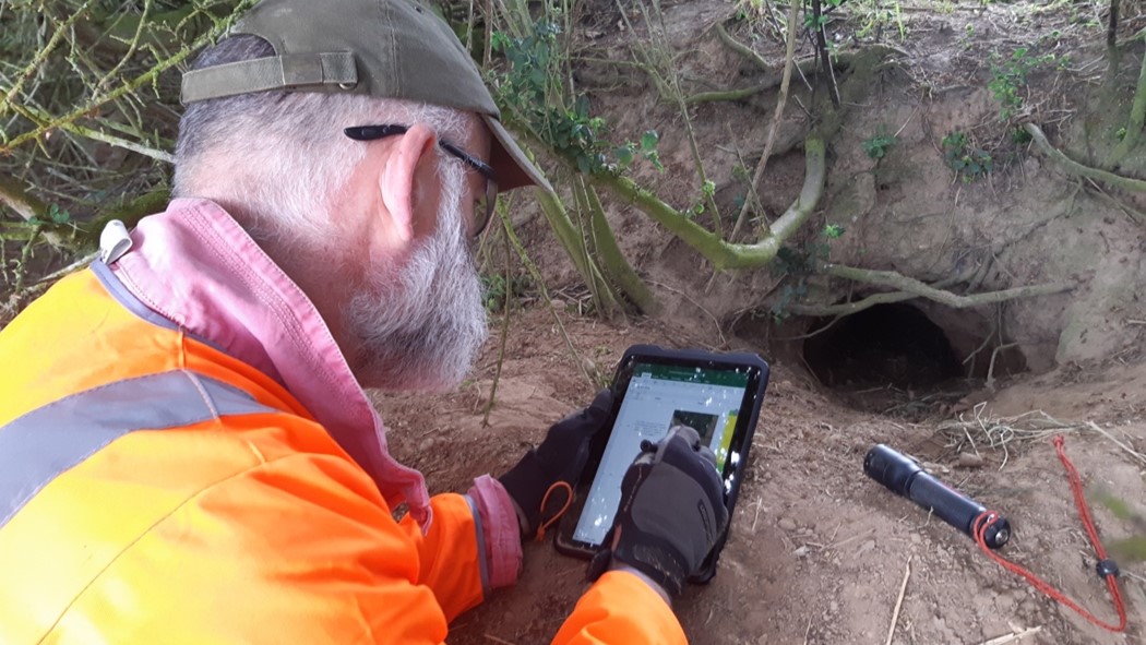
“The new agreement allows us to meet the increasing demand for our environmental and engineering services and more staff will be able to undertake surveys and spatial data analysis. It opens up GIS to a much larger audience within RSK Group so more teams can reap the benefits. Now when a new tool is created, it can be made available to everyone in the group.”


